


Resources for Internationally Trained Architectural Professionals

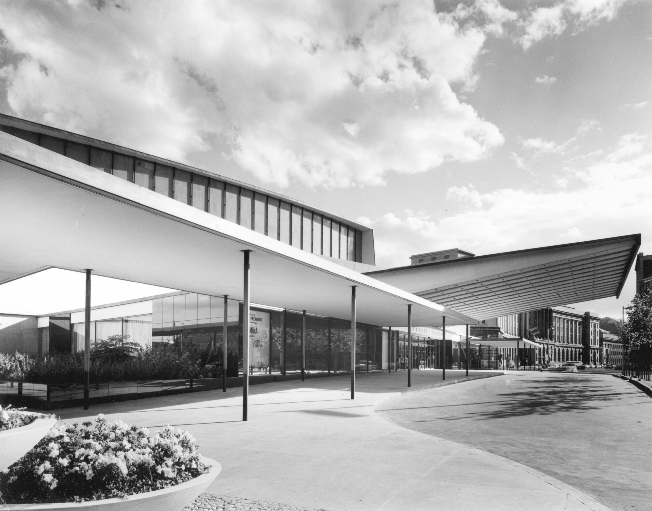
Designed as a general-purpose hall for performance, music and dance, the O’Keefe Centre first opened its doors on October 1, 1960. Its design was led by Page & Steele, with Peter Dickinson as its chief design architect, in collaboration with architect Earle C. Morgan.
Read More >

From friendly walking tours to behind-the-scenes home tours, exclusive building tours to on-demand virtual walks, we have so many great opportunities for you to explore Toronto’s built environment – both in person and online!